
Bulk digs and trenches
Localised excavation for the work set out in the design. Geometry, levels and relationships with foundations, services or other nearby elements are defined.
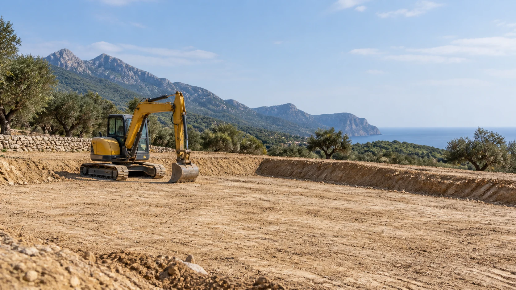 AI-generated conceptual image; not a completed project.
Preparing the ground starts by defining what you need to change. We study levels, access, site conditions and the destination of materials to define the excavation and coordinate it with the rest of your project.
On a private plot, an excavation can be part of a new build, an extension or the transformation of outdoor spaces. Each engagement needs to define the affected area and the intended result.
We can integrate this work into a 360° architecture project or coordinate it with your architect and builder. If there are elements to remove first, we define their demolition as work with its own scope.
The work adapts to the design, what already exists and the technical and planning conditions of the site.
Localised excavation for the work set out in the design. Geometry, levels and relationships with foundations, services or other nearby elements are defined.
Reshaping the ground profile to reach the agreed configuration. Level changes, limits of the work, water and impacts on the surroundings are studied.
Preparing surfaces with materials and conditions defined for their use. Imported soil, compaction and the necessary checks must be set out in the engagement.
Plans and measurements describe the change. Ground information helps determine the conditions for carrying it out.
Location, limits and current and final levels. Units and the measurement criteria must be clear to price and check the work.
Available geotechnical information, water, buried services and neighbouring buildings. We determine what additional data or studies are needed.
Permits, technical and health and safety documentation, access and responsibilities. Preparing the ground does not on its own authorise subsequent construction.
References (in Spanish): earthworks and permits · LUIB · ground and building foundations · CTE.
Calculate the volume of a rectangular base or an area you already know, applying an average height. You can take the measurements and the result to your enquiry.
It starts from measurements taken from plans or available documentation. It’s a geometric model, not a validated technical measurement. If the ground changes level or the shape is irregular, an average height may not represent its real geometry.
For a rectangular base: volume = length × width × average height. If you already know the area: volume = area × average height.
With lengths in metres and area in square metres, the result is in cubic metres. Keep the measurements and the criteria used so you can review them with the technical team.
Ask about my excavationComplete the measurements for the chosen mode to see the volume and its formula.
Its nature and intended use determine which options need studying. Natural material is distinguished from mixtures with other waste.
Its possible construction use in its natural state is assessed, under the relevant technical and environmental conditions. Having free space on the plot doesn’t justify any deposit or fill.
Removing surplus requires defining its management and the delivery certificates. Reusing natural materials on another site has specific conditions; it isn’t a free transfer between plots.
See (in Spanish): reuse of natural excavated materials · CAIB.
Volume is one figure in the quote. Ground, access, impacts, removal of materials and handover conditions also play a part.
The proposal should clarify what excavation, loading, transport and waste management include, and whether imported material, fill, checks or technical documentation are covered. That way you can assess the whole and the open questions.
We gather the information and define measurements, scope and start conditions.
We organise the work with those responsible and document agreed changes.
We review the final condition and the measurement and waste management documentation included in the engagement.
As a general rule, earthworks and levelling require a municipal permit. How it applies depends on the work, planning rules and legal exceptions. A small area isn’t enough to use prior notification; we review the relevant procedure before starting.
It can be considered if its characteristics, the intended construction use and the documentation allow it. Technical and environmental suitability must be checked. The material’s appearance or having space on the plot isn’t enough to decide.
The destination must be permissible and documented. Natural materials that meet the conditions have a specific reuse route. Those mixed with other waste or showing signs of contamination require different assessment and handling.
It depends on the work. You can provide the plans, levels and studies you already have to prepare the enquiry. If essential data is missing, we define what survey or technical documentation is needed before closing the scope.
No. The calculator shows a geometric volume based on your measurements. Excavated material bulks up, so that result doesn’t directly determine transport volume, loads, trips, weight or price. It’s a starting point for sharing information.
Their effect on the work is assessed and the technical response coordinated before continuing the affected work. It’s worth agreeing how changes are documented and how they affect measurements, included tasks and the budget.
Tell us where the plot is and what you need to prepare. With the available information we can start defining the scope.